This morning, the alarm clock rings before dawn, as we have an early flight to catch from Antananarivo to Morondava in southwest Madagascar. A good reason for that: we are to travel all the way to the Tsingy de Bemaraha.
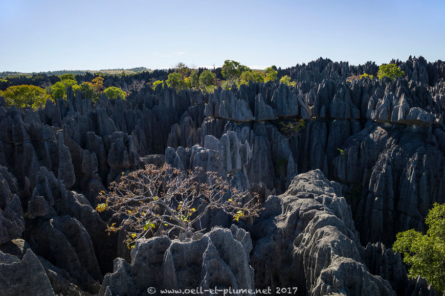
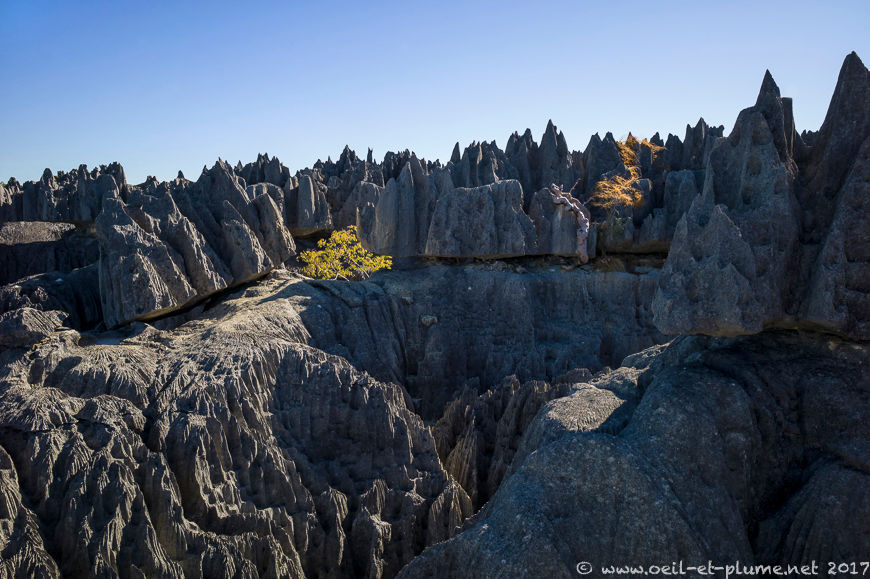
The Tsingy de Bemaraha is a National Park listed by Unesco as part of World Heritage. Those bizarre-looking grey karst formations rise in spikes and crippled spires, and hide deep canyons and caves in their basement. The moon-like landscape was shaped over centuries by water and wind.
On the road
It is not possible to travel by road between Morondava and Bekopaka (gateway town to the tsingy), states my web-based distance calculator software. Yes it is. Not always, not easy, but there is a way.
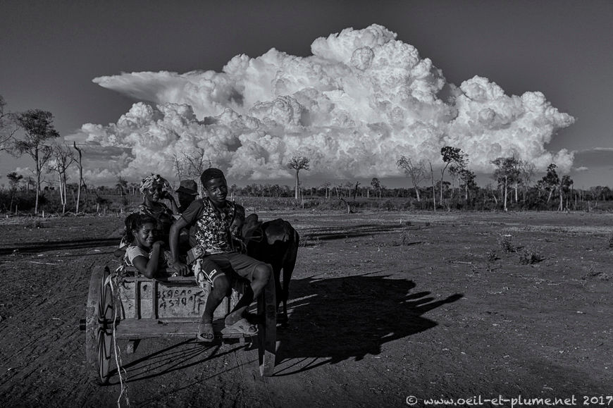
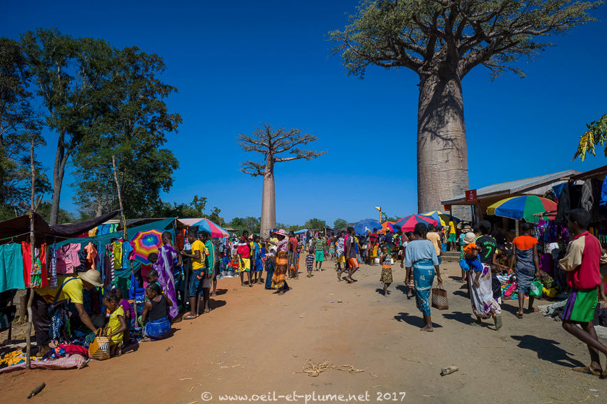
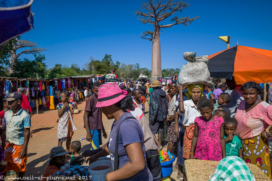
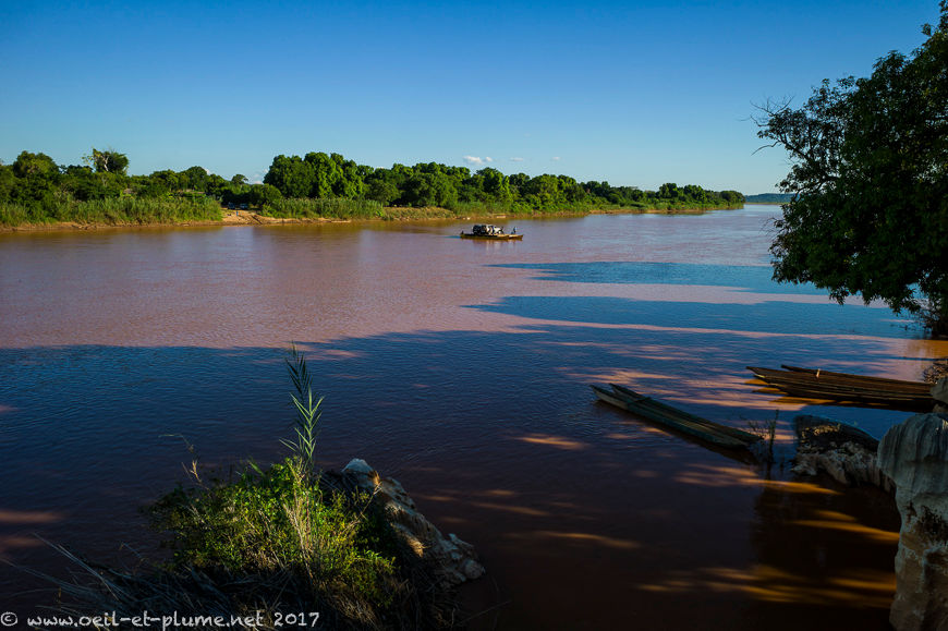
With the weather on our side, it takes us one full day of travel by 4×4 vehicle to reach Bekopaka. We stop several times along the 150 km of dusty and bumpy road to strech our legs, back and neck, to connect with the local social life, and to cross the Tsihiribina River on a ferryboat.
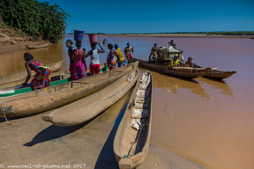
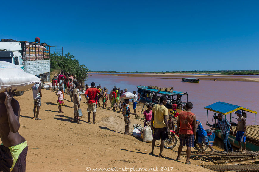
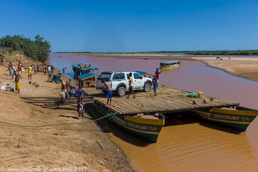
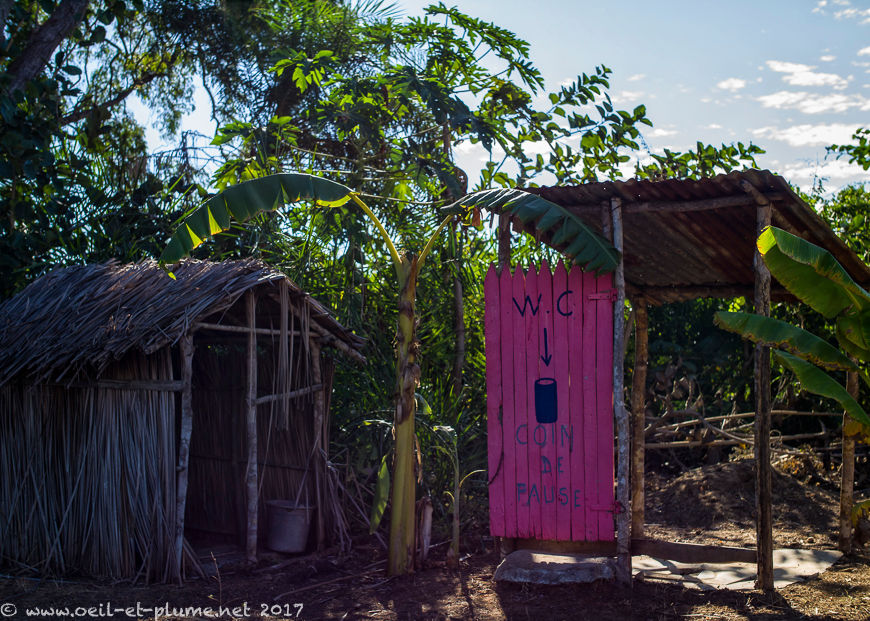
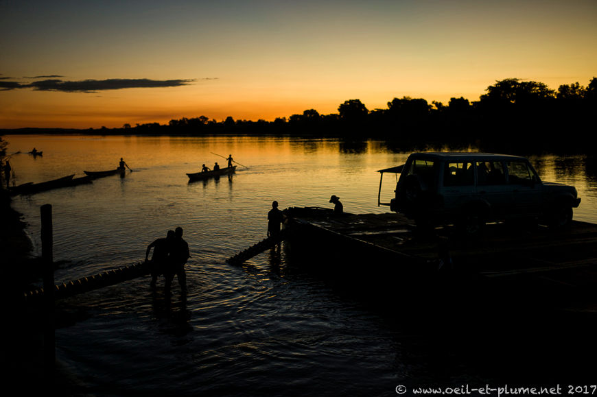
Following various hiccups and delays, we approach Bekopaka late in the afternoon. There is still a river to cross and a dozen of vehicles are queuing to board the ferry. Worst, the first 4×4 in line is stuck in the muddy water. It takes another two hours and five ferry shuttles to get it aboard and transport all vehicles across the river. We finally reach our hotel after sunset – a beautiful one by the way.
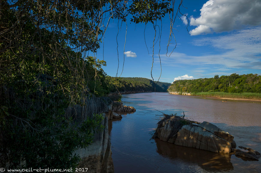
The Tsingy de Bemaraha
We don’t allow ourselves much time to rest. Next morning, we head to the Tsingy where we trek, climb, descend and jump for two full days. From the low lands covered with humid or dry forest, we quickly reach a more mineral world where vegetation is scarce albeit persistent.
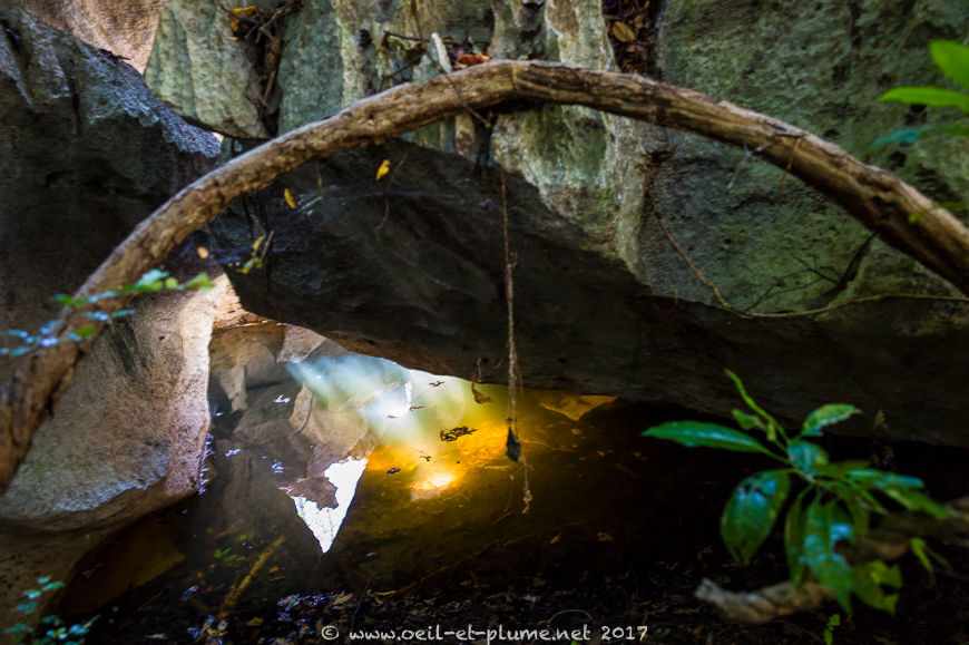
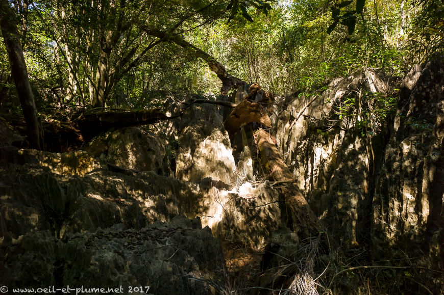
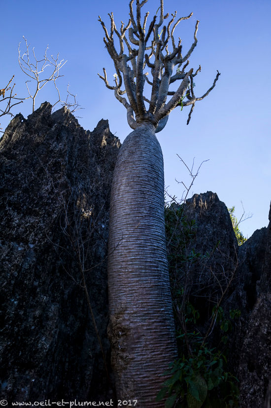
Narrow and tortuous canyons bring us to the core of the Tsingy. Tsingy describes the karst landscapes of Madagascar. The term is derived from the Malagasy verb mitsingitsingy meaning literally ‘tiptoe’. One cannot walk barefoot in the Tsingy. We will soon understand why.
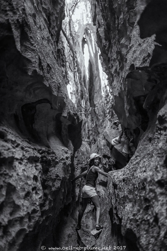
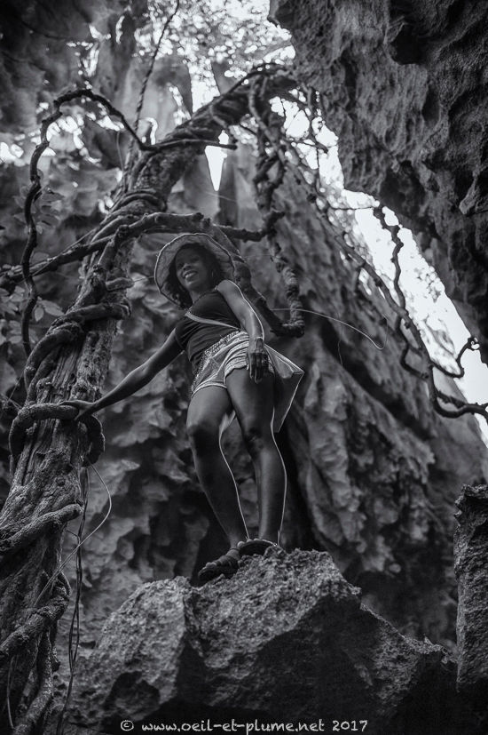
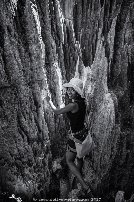
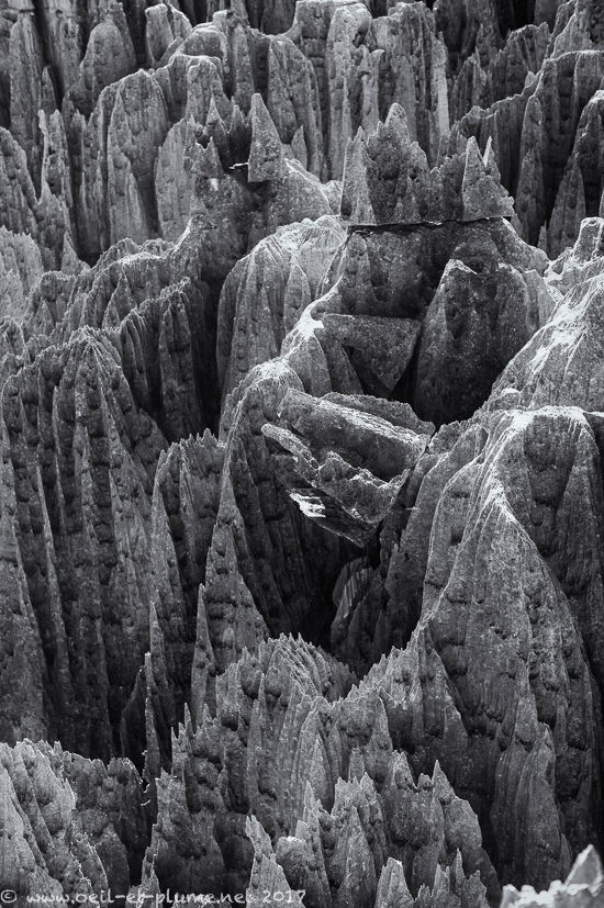
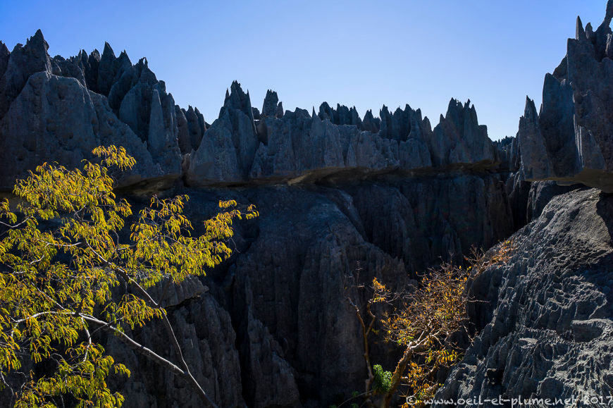
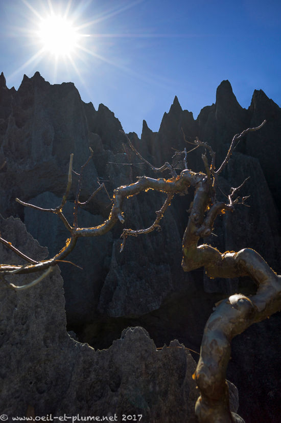
The moonscape of the Tsingy de Bemaraha consists in a mineral forest of straight lines and angles, with razor-sharp edges. They were built largely under water from limestone plateaus.
Phreatic water sculpted narrow but deep cavities and fissures in the lower parts of the plateaus. Rain and wind chiseled beautiful mineral crowns in the upper limestone layers. Eventually, the lowering of the groundwater table unveiled the labyrinth of deep canyons and the forest of karst needles that are visible today.
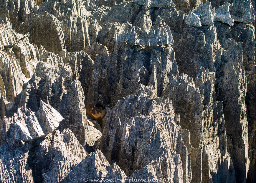
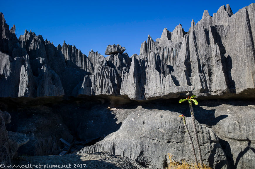
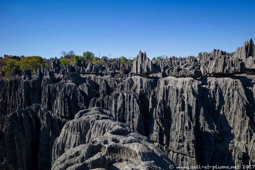
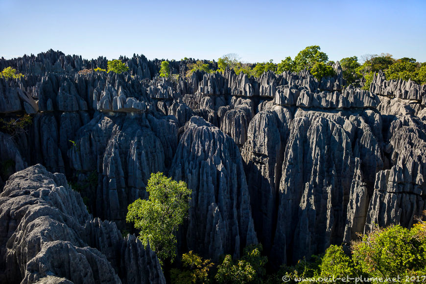
Vazimbapeople have for long lived in the Tsingy on hunting small animals and collecting fruits and honey. Their spirits are still there, at least their human remains buried under stone tombs. Today, we visit the Tsingy thanks to an elaborated system of via ferrata made of fixed ropes, ladders and even suspension bridges.
Back to the road
The return to Morondava entails similar challenges than those faced during our inbound journey. The crossing of the river near Bekopaka tests the drivers’ abilities and the waterproofness of the vehicles.
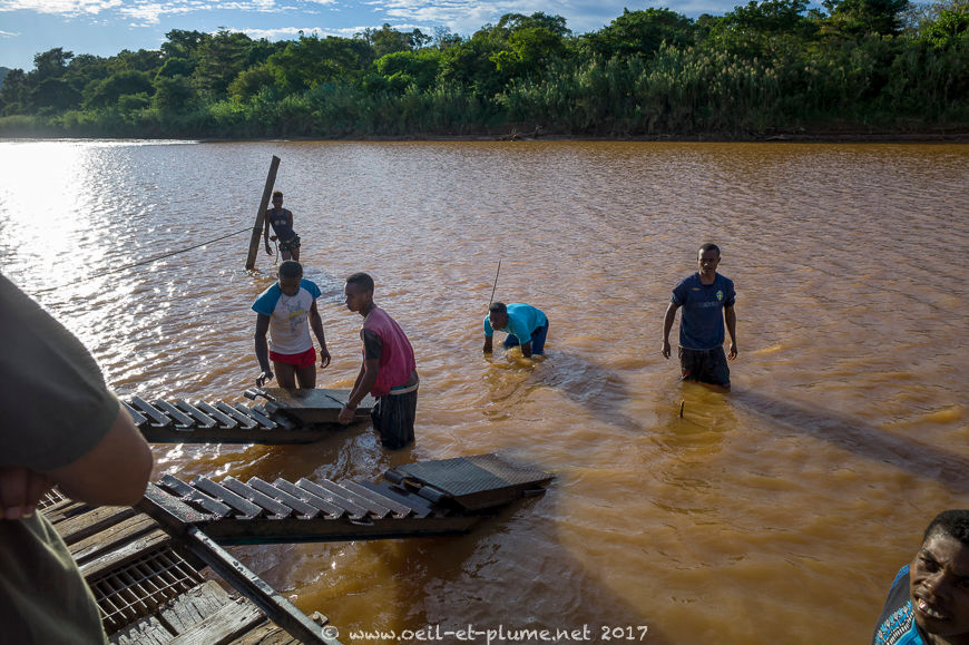
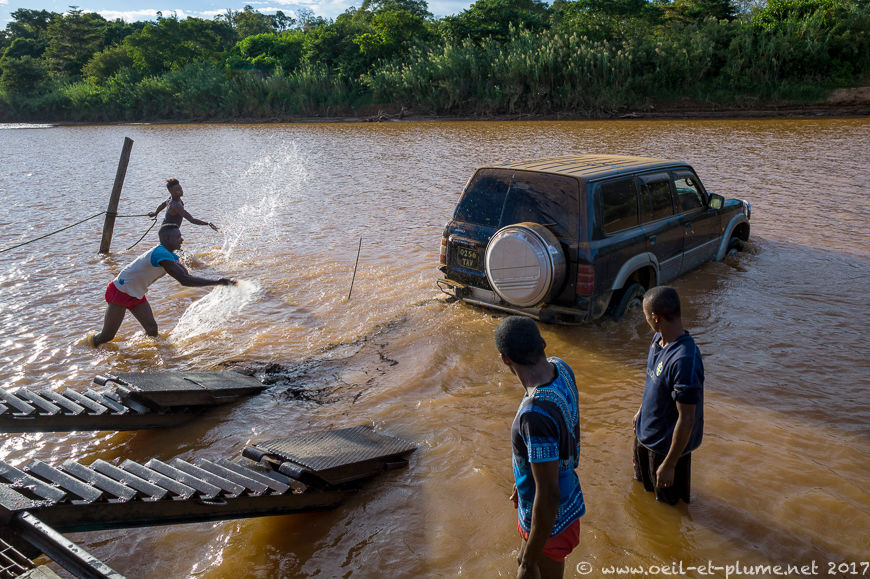
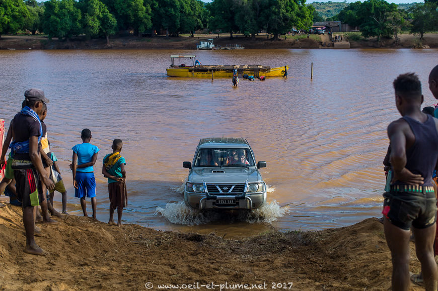
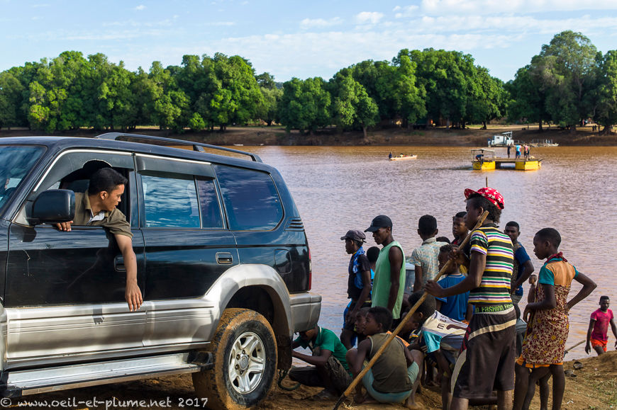
But when there is a will, there is a way. We made it, and enjoyed it very much.

Cheers,